

NHAZCAM remote monitoring camera stations by NHAZCA
Camera stations configured for your site, for purchase or rental. From the observation point to the technical reading of change, with IRIS and the PhotoMonitoring™ service where included.
NHAZCAM PhotoMonitoring™ System, by NHAZCA. From images to insight.
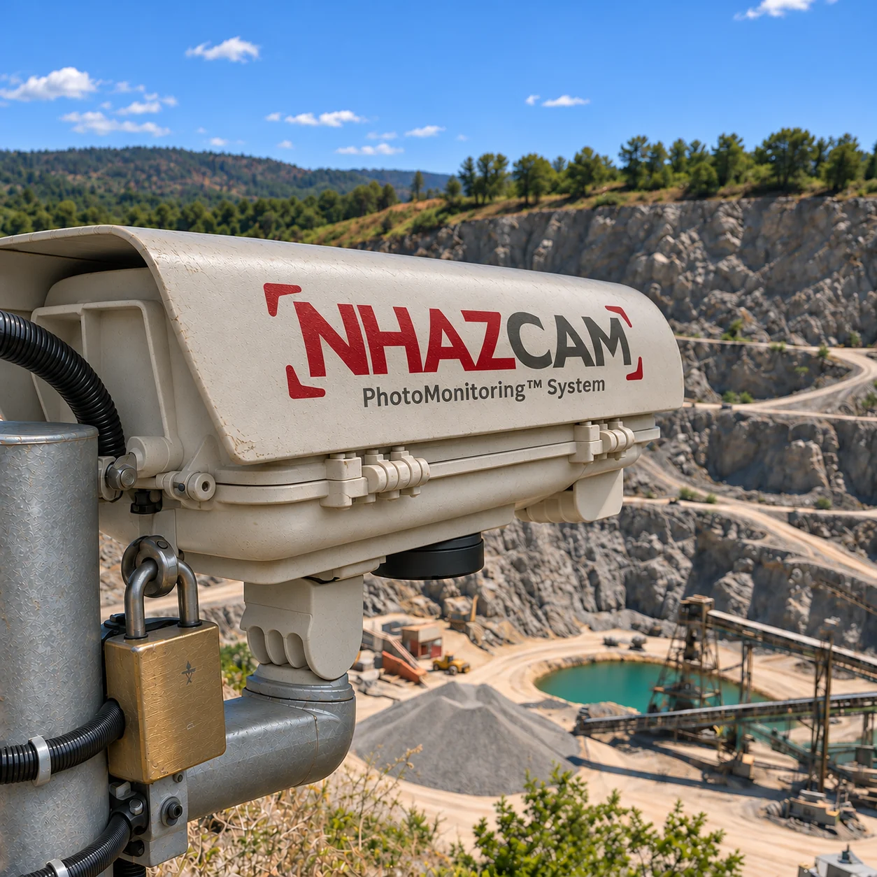
Comparable images over time
A slope evolves, a rock face changes, a construction site moves through stages that need a record. Photographs become data when the observation point, the schedule and image availability are designed around the technical question.
NHAZCAM is NHAZCA's remote monitoring camera line: a dedicated station and a configured workflow, from choosing the viewpoint to acquisition, data access and analysis services.
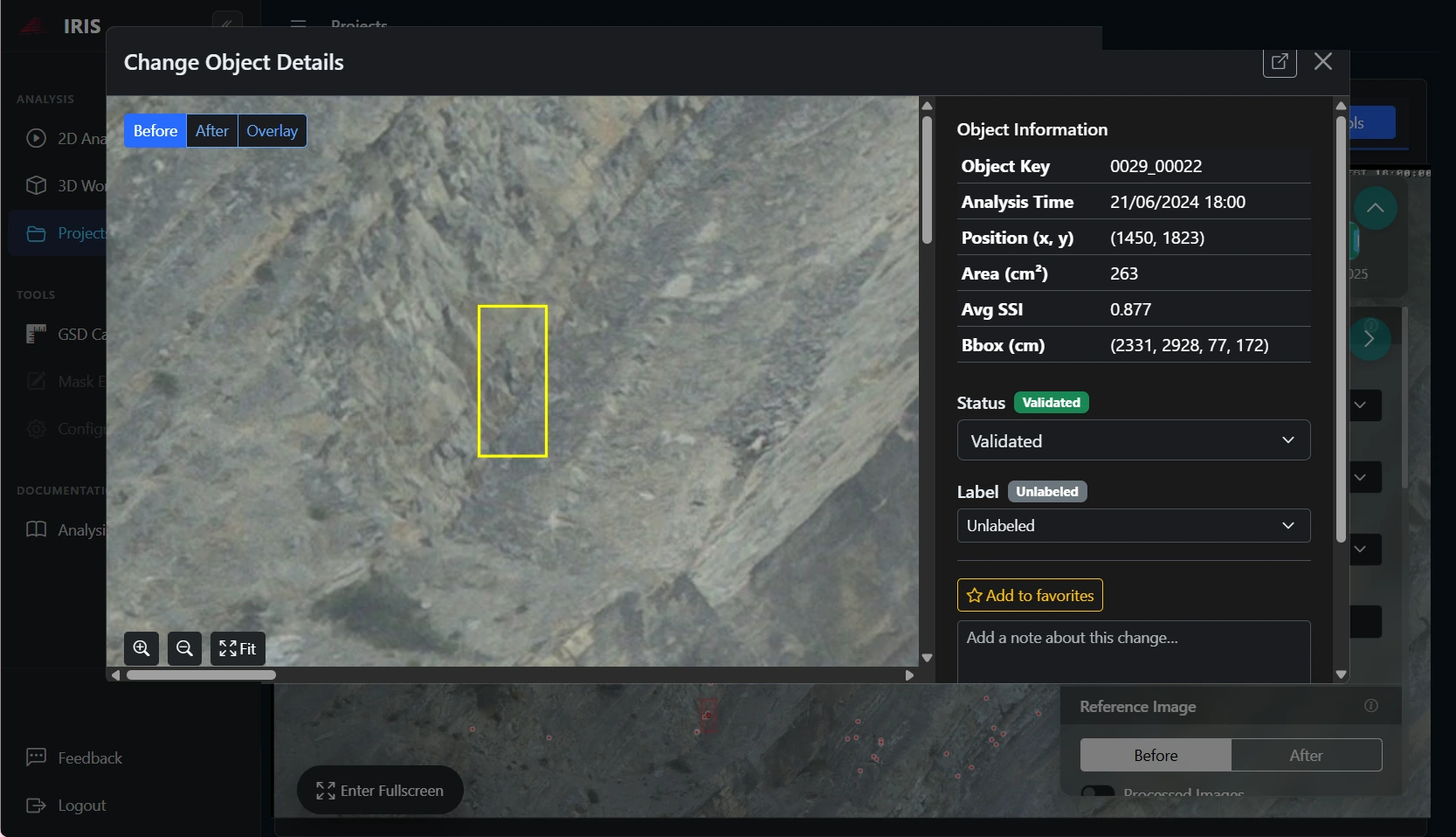
1. Before the detachment
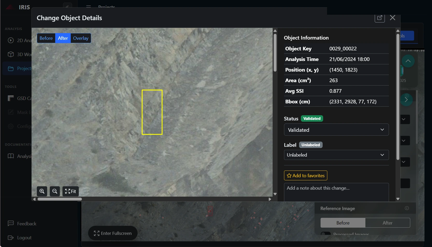
2. After the detachment
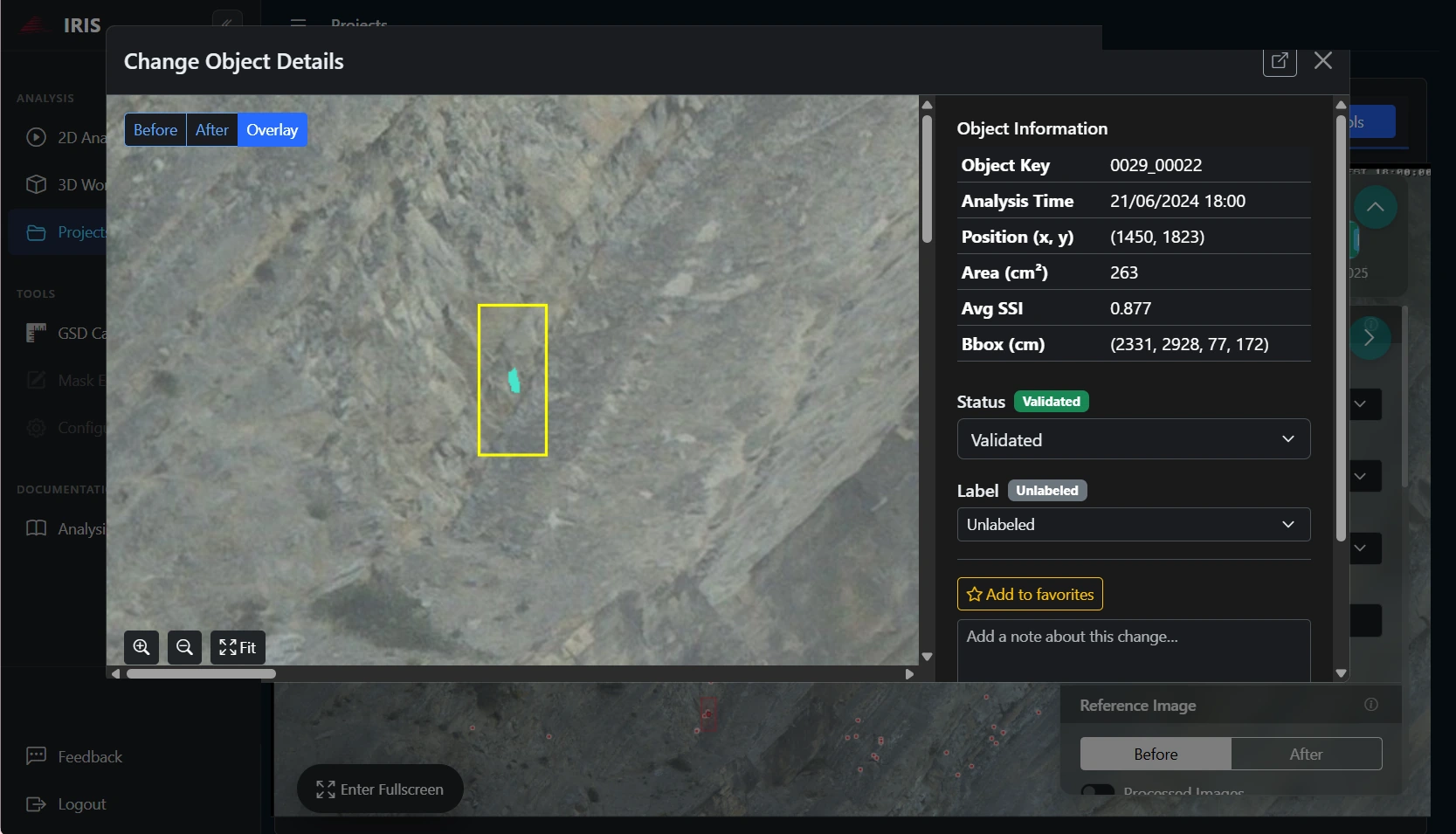
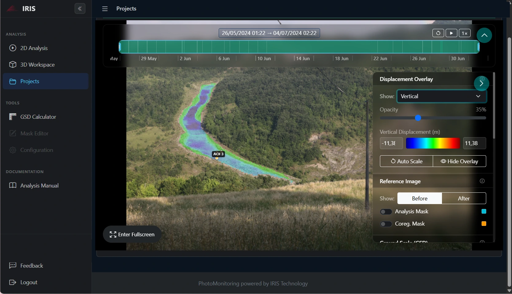
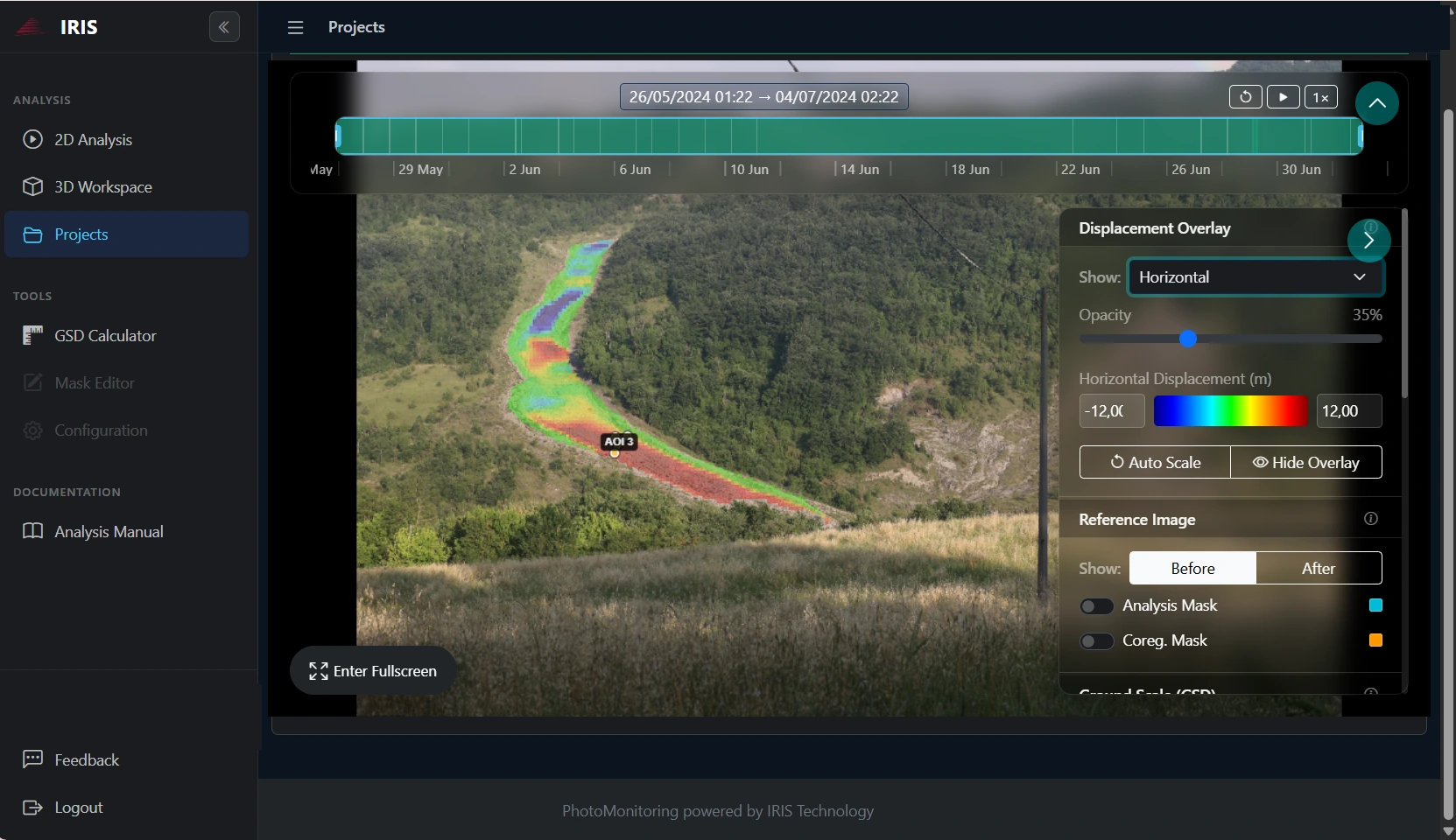
3. Change detected in IRIS
How it works
01
Acquire with NHAZCAM Station
Sensor, lens, power supply and transmission are selected for the site. The station records images; analysis is a separate service.
02
Process and view with IRIS
Where included, IRIS processes the images and makes the results available: displacement and change maps, time series, alerts, and playback of the image sequence to see change and displacement frame by frame.
03
Interpret with PhotoMonitoring™
The NHAZCA team sets up the processing, interprets the results and delivers the technical outputs defined in the PhotoMonitoring™ service.
One configurable system, one point of contact
The main offer is NHAZCAM Monitoring System: one or more stations with the NHAZCA services selected for the project. NHAZCAM Station is also available on its own, with explicit inclusions and exclusions.
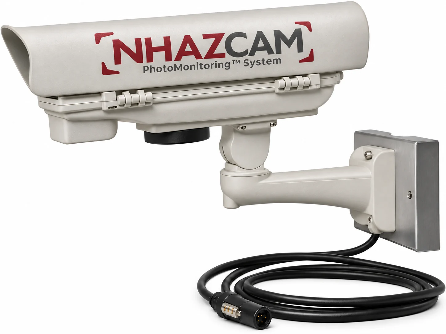
Stations
One or more viewpoints, with field of view and lens chosen on distance and required detail.
Power
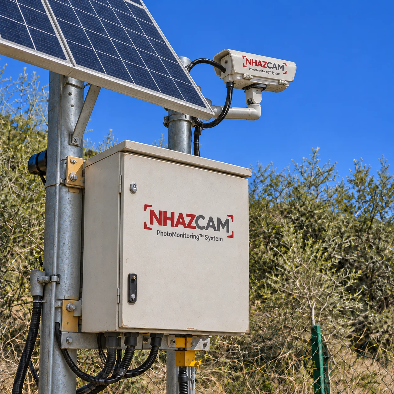
Mains power or a solar panel sized for the site.
Connectivity
Image transmission chosen on the coverage available on site.
Where remote monitoring camera stations are used
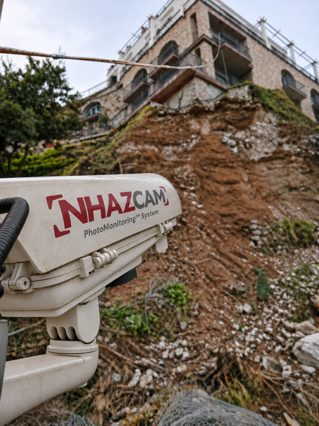
Landslides and rock faces
Repeated observation of visible surfaces, with analyses designed on the site geometry.
Landslide monitoring
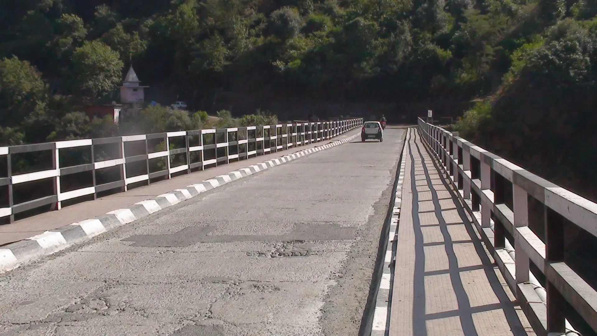
Bridges, dams and structures
Cameras installed away from the structure, on viewpoints suited to the setting.
Bridge monitoring
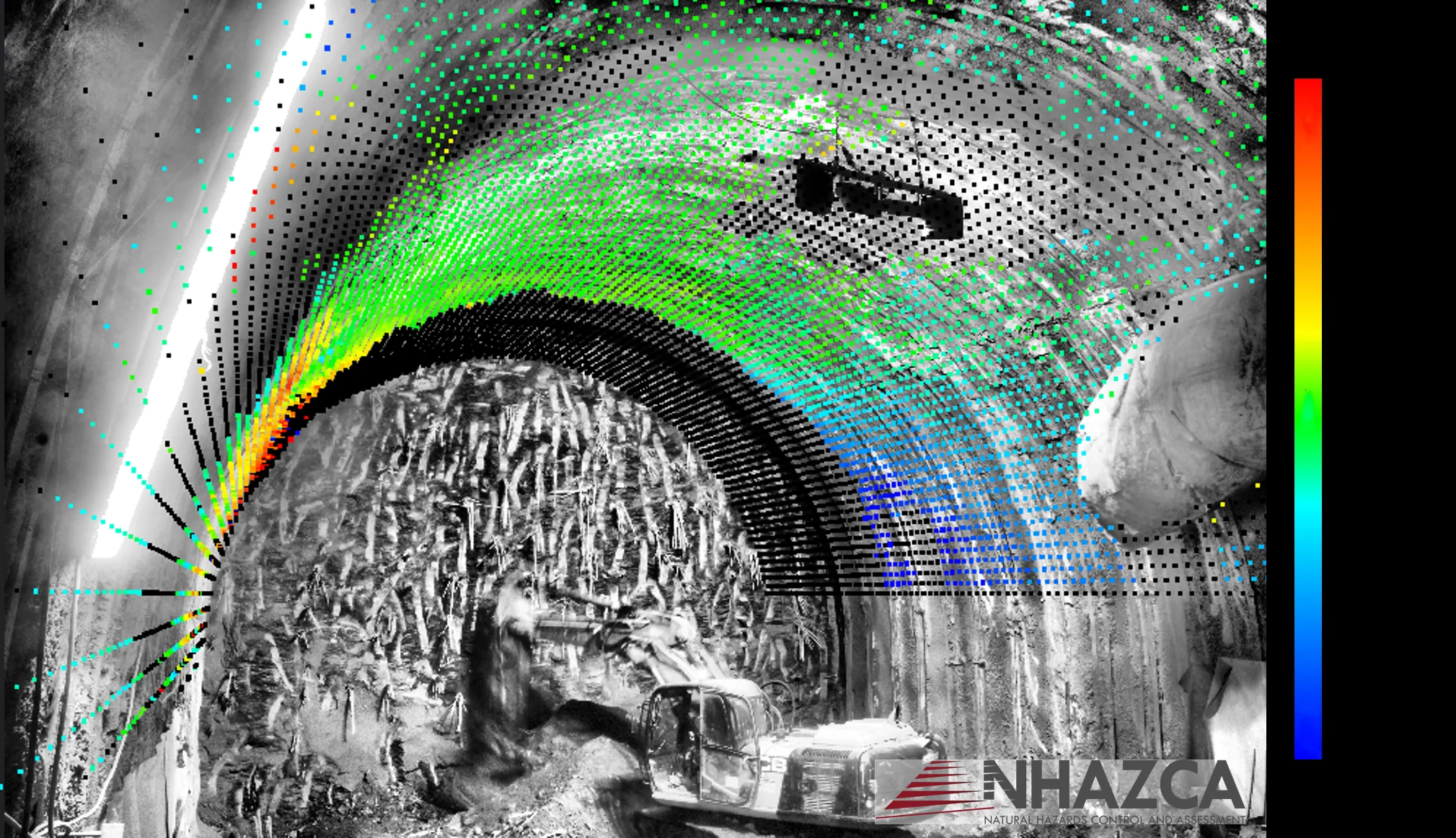
Construction sites, excavations and tunnels
A construction site monitoring camera on excavation faces, temporary slopes and tunnel portals: images follow the works and IRIS analyses the changes.
Geotechnical monitoring
Time lapse construction camera for excavation sites
On excavation sites, change is plain to see. The NHAZCAM station records excavation faces, temporary slopes and tunnel portals at regular intervals. In IRIS the sequence plays back frame by frame, with change and displacement already highlighted.
You get a record of works progress and, at the same time, a technical check of the surfaces that are changing.
Frequently asked questions
Does the camera measure displacement on its own?
No. The station acquires images. Measurement and interpretation need a processing service, a designed viewpoint and technical checks.
Is it an alert system?
Supply alone does not include an alert procedure. Alerts on dashboard, email and API come with IRIS, with thresholds and responsibilities defined in the project.
Which lens do I need?
It depends on distance, area to observe and required detail. For a first sizing, use the free IRIS GSD Calculator.
Does it work without mains power?
Yes, with solar power and data transmission sized for the site. Autonomy and coverage are confirmed for the actual configuration.
Can I buy the station only?
Yes, with an explicit supply scope. IRIS, PhotoMonitoring™, installation and support are included only when listed in the quotation.
Can I use the cameras already on site?
Yes. IRIS also works with IP cameras, time-lapse DSLRs and existing archives. NHAZCAM is the choice when the viewpoint must be designed and installed from scratch.
Tell us about your site
Share the location, what you need to observe, approximate distance, duration, and the power and connectivity available. NHAZCA will propose the right configuration.